
Route map
Start / endStopsHalfway
Zion to Moab: the drive
The drive from Zion National Park to Moab covers 345 miles (555 km) and takes about 5 hrs without stops, mostly on I-70, I-15 and US-191.
It's doable in one day, but with fuel, food and a couple of stops plan on roughly 6 hr 30 min door to door.
We found 9 worthwhile stops within about 25 miles of the route, including Snow Canyon State Park, Kolob Canyons (Zion), Cedar Breaks National Monument and Fremont Indian State Park.
| Main roads | Approx. miles |
|---|---|
| I-70 | 182 |
| I-15 | 104 |
| US-191 | 32 |
Best time to go: March to May and September to October.
Best stops between Zion and Moab
Before you leave Zion
- 1
Coral Pink Sand Dunes State Park
Shifting pink sand dunes between Zion and Kanab, where you can rent sandboards.

Photo: Staplegunther (David Jolley) · CC BY-SA 3.0
- 2
Snow Canyon State Park
Red and white Navajo sandstone, lava tubes and petrified dunes just outside St. George. A mini-Zion without the crowds.

Photo: Wilson44691 · CC0 - 3
Kolob Canyons (Zion)
Zion's quiet northwest corner, with a 5-mile scenic drive right off I-15 at exit 40 and no shuttle needed.
- 4
Cedar Breaks National Monument
A 2,000-foot-deep natural amphitheater at 10,000 feet. The rim road is usually closed by snow from November to late May.

Photo: Lucas·G · CC BY-SA 4.0 - 5
Fremont Indian State Park
One of the largest collections of Fremont rock art in Utah, right beside I-70 in Clear Creek Canyon.

Photo: Murray Foubister · CC BY-SA 2.0 - 6
Goblin Valley State Park
Thousands of mushroom-shaped hoodoos you can wander among freely, about 30 minutes off the Capitol Reef–Moab route.

Photo: CGP Grey · CC BY 2.0
Near Moab
- 7
Canyonlands: Island in the Sky
A mesa-top district with Mesa Arch at sunrise and Grand View Point looking 1,000 feet down to the White Rim.

Photo: au_ears · CC BY-SA 2.0 - 8
Dead Horse Point State Park
A gooseneck of the Colorado River 2,000 feet below, and arguably the best sunset point near Moab.
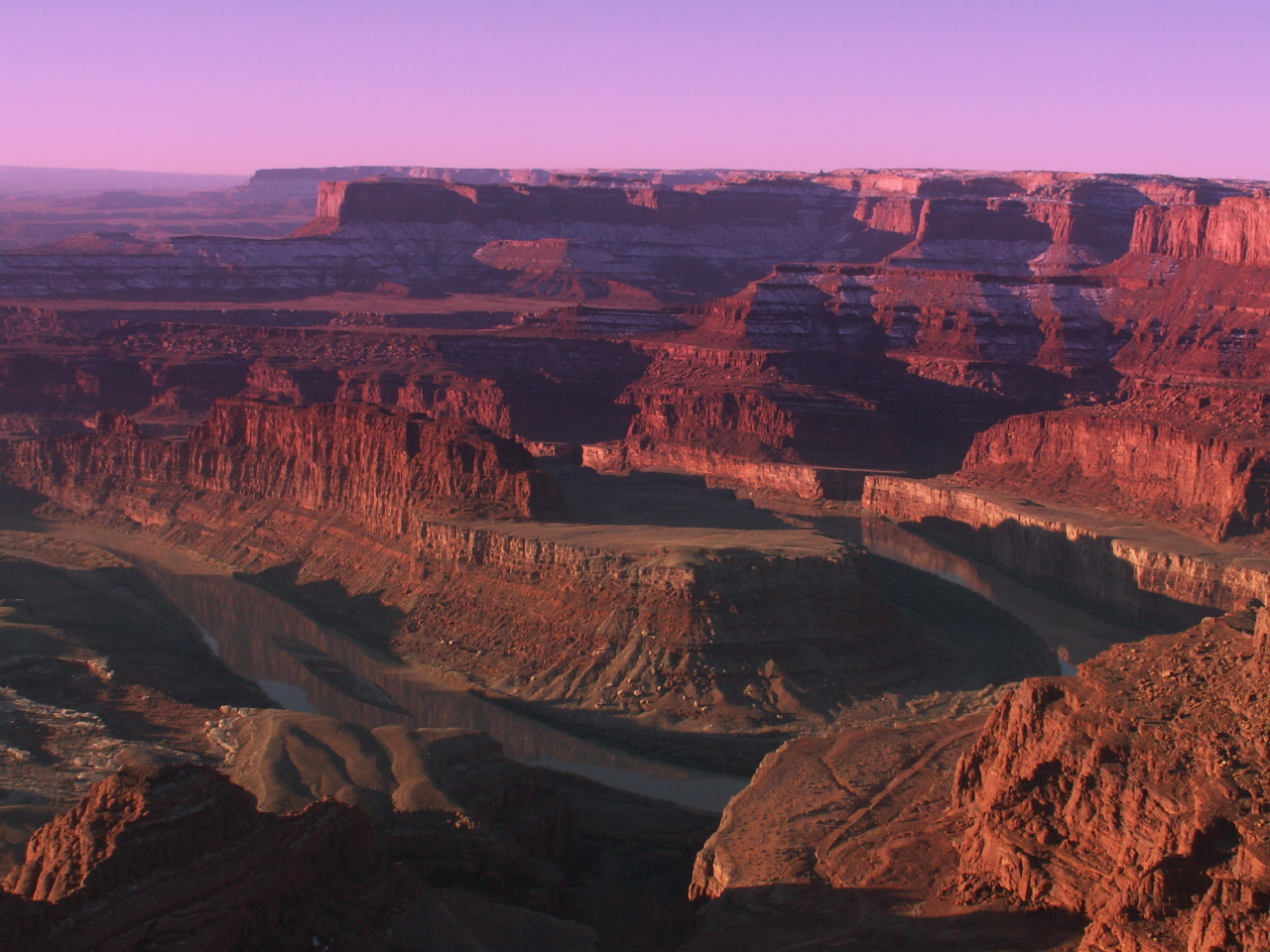
Photo: Mike Nielsen · CC BY-SA 2.0 - 9
Arches National Park
Over 2,000 natural stone arches, including Delicate Arch at the end of a 3-mile round-trip hike.

Photo: Palacemusic · CC BY-SA 3.0
Where to stay in Moab
Base camp for Arches, Canyonlands and Dead Horse Point, plus world-class mountain biking and 4x4 trails.
Map not loading? See places to stay near Moab →
Trip cost calculator
Estimate gas or charging, hotels and car rental for a round trip from Zion to Moab:
Zion to Moab road trip FAQ
How long is the drive from Zion National Park to Moab?
About 5 hrs without stops for 345 miles via I-70, I-15 and US-191. With breaks for fuel and food, allow around 6 hr 30 min.
What is the halfway point between Zion and Moab?
Richfield, UT is about halfway, roughly 173 miles from each end. It's a good place for fuel and a meal.
Can you drive from Zion to Moab in one day?
Yes. At 5 hrs of driving it's a comfortable one-day trip. Leave early so you arrive with daylight to spare.
What are the best stops between Zion and Moab?
Top stops include Snow Canyon State Park, Kolob Canyons (Zion), Cedar Breaks National Monument and Fremont Indian State Park. See the full list with detour times above.
How much does gas cost from Zion to Moab?
About $44 one way in a car that gets 28 mpg with gas at $3.60 a gallon. Use the calculator on this page to plug in your own car and prices.
When is the best time to visit Moab?
March to May and September to October.
Route calculated from OpenStreetMap data and checked 2026-11-09. Drive times assume normal traffic and no stops.
