State guide

Utah road trips

17 routes that start or end in Utah, and 18 stops worth pulling over for.

Popular starting points: road trips from Zion · road trips from Salt Lake City

Routes

Bryce Canyon National Park
Photo: King of Hearts · CC BY-SA 4.0
Zion to Bryce Canyon
85 mi · 1 hr 45 min
Under two hours, but it includes the Zion–Mount Carmel Tunnel, the checkerboard mesas and Red Canyon's hoodoo arches.
Capitol Reef National Park
Photo: Wolfgang Staudt · CC BY 2.0
Bryce Canyon to Capitol Reef
124 mi · 2 hr 45 min
Scenic Byway 12, often called one of America's most beautiful roads, crosses the Hogback ridge with drop-offs on both sides.
Moab
Photo: Quintin Soloviev · CC BY 4.0
Capitol Reef to Moab
145 mi · 2 hr 30 min
Desert plateau driving past Goblin Valley and Green River on the way to the arches.
Monument Valley
Photo: Domenico Convertini · CC BY-SA 2.0
Moab to Monument Valley
150 mi · 2 hr 45 min
South on US-191 through Bluff and Mexican Hat, with stops at Goosenecks and the Valley of the Gods.
Zion National Park
Photo: Diliff · CC BY-SA 3.0
Las Vegas to Zion
160 mi · 2 hr 45 min
The easiest national park escape from the Strip: under three hours up I-15 through the Virgin River Gorge, with a stop for a mini-Zion at Snow Canyon or Kolob if you have time.
Moab
Photo: Quintin Soloviev · CC BY 4.0
Salt Lake City to Moab
234 mi · 4 hrs
Four hours down US-6 through Price and Green River to Arches. Book Arches timed entry before you set off.
Zion National Park
Photo: Diliff · CC BY-SA 3.0
The Grand Canyon to Zion
253 mi · 4 hr 45 min
A core leg of the Grand Circle loop via Page, Kanab and the Zion–Mount Carmel tunnel.
Bryce Canyon National Park
Photo: King of Hearts · CC BY-SA 4.0
Las Vegas to Bryce Canyon
260 mi · 4 hrs
A climb from desert to 8,000-foot forests. It's easy to fold Zion in on the way, either through the tunnel on UT-9 or by staying on I-15.
Zion National Park
Photo: Diliff · CC BY-SA 3.0
Salt Lake City to Zion
309 mi · 4 hr 30 min
South on I-15 for four and a half hours. Detour to Cedar Breaks in summer for alpine views.
Moab
Photo: Quintin Soloviev · CC BY 4.0
Zion to Moab
345 mi · 5 hrs
Two Mighty 5 parks connected by I-70 through the San Rafael Swell, or by Byway 12 if you want to see Bryce and Capitol Reef too.
Moab
Photo: Quintin Soloviev · CC BY 4.0
Denver to Moab
354 mi · 5 hr 30 min
I-70 through Glenwood Canyon and past Colorado National Monument, then south from Cisco along the Colorado River on UT-128.
Zion National Park
Photo: Diliff · CC BY-SA 3.0
Phoenix to Zion
392 mi · 6 hr 45 min
A big day through Flagstaff, Page and Kanab. Horseshoe Bend makes a perfect midpoint stop.
Salt Lake City
Photo: Invictus323 · CC BY 4.0
Las Vegas to Salt Lake City
420 mi · 6 hrs
Straight up I-15, the length of Utah. Zion's Kolob Canyons and the Fremont rock art are short detours from the interstate.
Zion National Park
Photo: Diliff · CC BY-SA 3.0
LA to Zion
428 mi · 6 hr 45 min · 2 days
Fly-free access to Utah: through Vegas on I-15, with an overnight in St. George or Springdale.
Moab
Photo: Quintin Soloviev · CC BY 4.0
Las Vegas to Moab
457 mi · 6 hr 30 min
A big desert crossing on I-15 and I-70 through the San Rafael Swell, one of the emptiest and most dramatic interstate stretches in the US.
Moab
Photo: Quintin Soloviev · CC BY 4.0
Phoenix to Moab
467 mi · 7 hr 45 min · 2 days
Across the Navajo Nation via Monument Valley country. One of the most scenic long drives in the Southwest.
Denver
Photo: Quintin Soloviev · CC BY 4.0
Salt Lake City to Denver
519 mi · 7 hr 45 min · 2 days
I-80 across Wyoming is the fastest, though storms can close it in winter. The I-70 route through the Rockies is slower but far prettier.

Stops worth the detour in Utah

Snow Canyon State Park
Photo: Wilson44691 · CC0

Snow Canyon State Park

1–2 hrs

Red and white Navajo sandstone, lava tubes and petrified dunes just outside St. George. A mini-Zion without the crowds.

Kolob Canyons (Zion)

1 hr

Zion's quiet northwest corner, with a 5-mile scenic drive right off I-15 at exit 40 and no shuttle needed.

Cedar Breaks National Monument
Photo: Lucas·G · CC BY-SA 4.0

Cedar Breaks National Monument

1 hr

A 2,000-foot-deep natural amphitheater at 10,000 feet. The rim road is usually closed by snow from November to late May.

Coral Pink Sand Dunes State Park
Photo: Staplegunther (David Jolley) · CC BY-SA 3.0

Coral Pink Sand Dunes State Park

1–2 hrs

Shifting pink sand dunes between Zion and Kanab, where you can rent sandboards.

Kanab
Photo: P199 · CC BY-SA 3.0

Kanab

1+ hrs

'Little Hollywood': a central base between Zion, Bryce, the Grand Canyon North Rim and Page, and the permit office for The Wave.

Red Canyon

30–60 min

Bright red hoodoos and rock tunnels on Scenic Byway 12, a free preview of Bryce with a paved bike path.

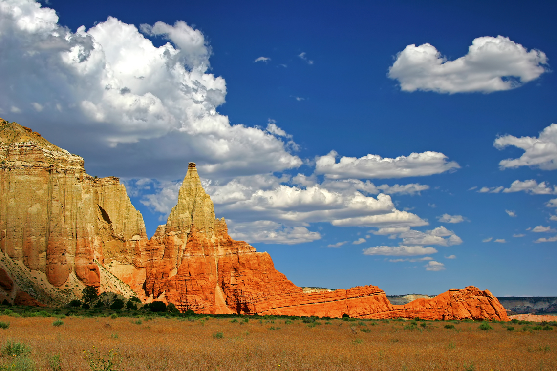
Kodachrome Basin State Park
Photo: Photographersnature · CC BY-SA 3.0

Kodachrome Basin State Park

1–2 hrs

Tall sandstone chimneys named by National Geographic after the color film, 20 minutes from Bryce.

Lower Calf Creek Falls
Photo: Cacophony · CC BY-SA 3.0

Lower Calf Creek Falls

3–4 hrs

A 6-mile round-trip sandy hike to a 126-foot waterfall in Grand Staircase–Escalante, on Scenic Byway 12.

Anasazi State Park Museum
Photo: Nickeyrc · Public domain

Anasazi State Park Museum

45 min

A small museum and excavated ancestral Puebloan village in Boulder, Utah, next to the Hogback ridge drive on Byway 12.

Goblin Valley State Park
Photo: CGP Grey · CC BY 2.0

Goblin Valley State Park

1–2 hrs

Thousands of mushroom-shaped hoodoos you can wander among freely, about 30 minutes off the Capitol Reef–Moab route.

Arches National Park
Photo: Palacemusic · CC BY-SA 3.0

Arches National Park

half day+

Over 2,000 natural stone arches, including Delicate Arch at the end of a 3-mile round-trip hike.

Canyonlands: Island in the Sky
Photo: au_ears · CC BY-SA 2.0

Canyonlands: Island in the Sky

half day

A mesa-top district with Mesa Arch at sunrise and Grand View Point looking 1,000 feet down to the White Rim.

Dead Horse Point State Park
Photo: Mike Nielsen · CC BY-SA 2.0

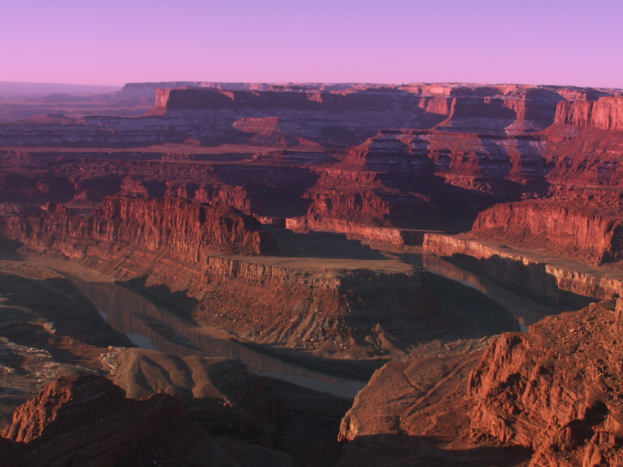
Dead Horse Point State Park

1–2 hrs

A gooseneck of the Colorado River 2,000 feet below, and arguably the best sunset point near Moab.

Natural Bridges National Monument
Photo: Laban712 on en · Public domain

Natural Bridges National Monument

1–2 hrs

Three huge natural bridges on a 9-mile loop drive, and the world's first certified International Dark Sky Park.

Goosenecks State Park
Photo: Chesley Chen · CC BY-SA 3.0

Goosenecks State Park

30 min

The San Juan River carves tight entrenched meanders 1,000 feet below a simple overlook near Mexican Hat.

Bluff
Photo: François5000 · CC BY-SA 4.0

Bluff

1 hr

A tiny pioneer town with a reconstructed 1880 fort and good cafes, plus access to Valley of the Gods and Bears Ears.

Fremont Indian State Park
Photo: Murray Foubister · CC BY-SA 2.0

Fremont Indian State Park

1 hr

One of the largest collections of Fremont rock art in Utah, right beside I-70 in Clear Creek Canyon.

Park City
Photo: PeteysHead · CC BY-SA 4.0

Park City

2+ hrs

A silver mining town turned ski resort, with a lively Main Street and the Utah Olympic Park.